
The sources of the Eo, its first waters, begin to flow in Fonteo (Fonte + Eo), in the municipality of Baleira, coming from the streams that descend from the eastern part of the Serra do Miradoiro.
Just at the edge of the LU-750 road, halfway between O Cádavo and Meira, a sign indicates the source of the river. There, under a huge carballo, the Eo passes between the stones. In the “recreational area of the source of the river Eo”, there is a field with tables and benches to regain strength or hang out on the banks of the river, still small. Next to the area, the environmental interpretation center.
Here begins the course of the Eo, which flows for 99 km along the northwestern end of the province of Lugo, penetrating into the Asturian community and serving as a border between Galicia and Asturias on several occasions. It crosses the municipalities of Baleira, Rieira de Piquín, Meira, A Pontenova, Riotorto, San Tirso de Abres, Trabada and Vegadeo, and flows into the Cantabrian Sea through the Ribadeo estuary, between Castropol and Ribadeo.
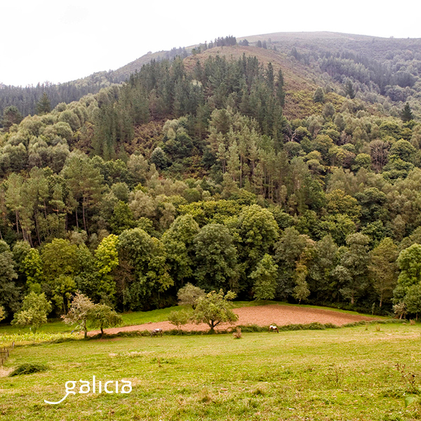
This mountain area, with large masses of native vegetation, is part of the Biosphere Reserve Río Eo, Oscos e Terras de Burón, which extends through seven Galician municipalities (Negueira de Muñiz, A Fonsagrada, Baleira, Ribeira de Piquín, A Pontenova, Trabada and Ribadeo) and other Asturian ones. It covers the entire Eo basin, from beginning to end, including the estuary and part of the basins of other rivers that flow into it.
The reserve is rich in historical testimonies, with many remains of mámoas, forts, monasteries, ethnographic elements (alvarizas, hórreos, ouriceiras…). Among the fauna of the river highlights the salmon, lamprey, mussels and crayfish, otters. Among the most particular species of flora, ferns and daffodils.
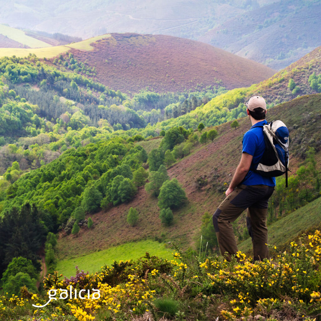
The municipality of Baleira borders on the east with that of A Fonsagrada. This, together with Negueira de Muñiz, constituted the municipality of Burón for a long time. Nowadays, the municipalities of A Fonsagrada, Negueira de Muñiz and Ribeira de Piquín are called Terras de Burón. Land of rivers and mountains, through which crosses the Eo, very branched by the accidents of the relief. The Rodil, a tributary of the Eo, and the Suarna also pass through here. The beaches of A Retorta or Chao do Pousadoiro, in Ribeira de Piquín, are a great destination to finish off a hot afternoon with a swim in the cool water of the Eo.
As for A Fonsagrada capital, it should be noted that it is the capital of the municipality at the highest altitude in Galicia. It is a city closely linked to the Primitive Way. With the toponym that it has, everything indicates that its origin is in the Fontem Sacra, sacred source at the foot of the chapel of Santa Maria, a symbol for pilgrims. Among the places to visit, we highlight the Ethnographic Museum, the semeira of Vilagocende or the fluvial beach of Pena do Inferno. And, by the way, do not leave the area without tasting the androlla and butelo, among the most typical pork delicacies.
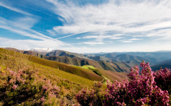
Between the municipalities of A Fonsagrada and Baleira there are 611 ha of native forest in a mid-mountain area: A Fraga da Marronda. It runs through A Braña, Fórneas, Mendreiras, O Real and Martín. Its particularity is that it houses one of the most important beech forests in this area of the continent. In addition to beeches, chestnut trees, oaks,birch trees, holly, rowan and willows abound. As for animals, wild boars, roe deer, foxes, algae, crows, cuckoos and hoopoes. It has the added value of being a landscape where you can feel the passage of time through the colors, so varied, that make us discover different marrondas depending on the time of year.
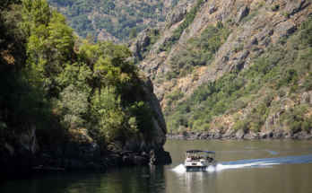
Following the course of the Eo, we enter the Eastern Mariña. We pass through A Pontenova, where the river has been key to the mining site, and where we can enjoy industrial tourism visiting the remains of the limonite furnaces. From here the Eo Greenway starts, which reaches San Tirso de Abres, already in Asturias. In A Pontenova, the river delights us with first class trout and salmon.
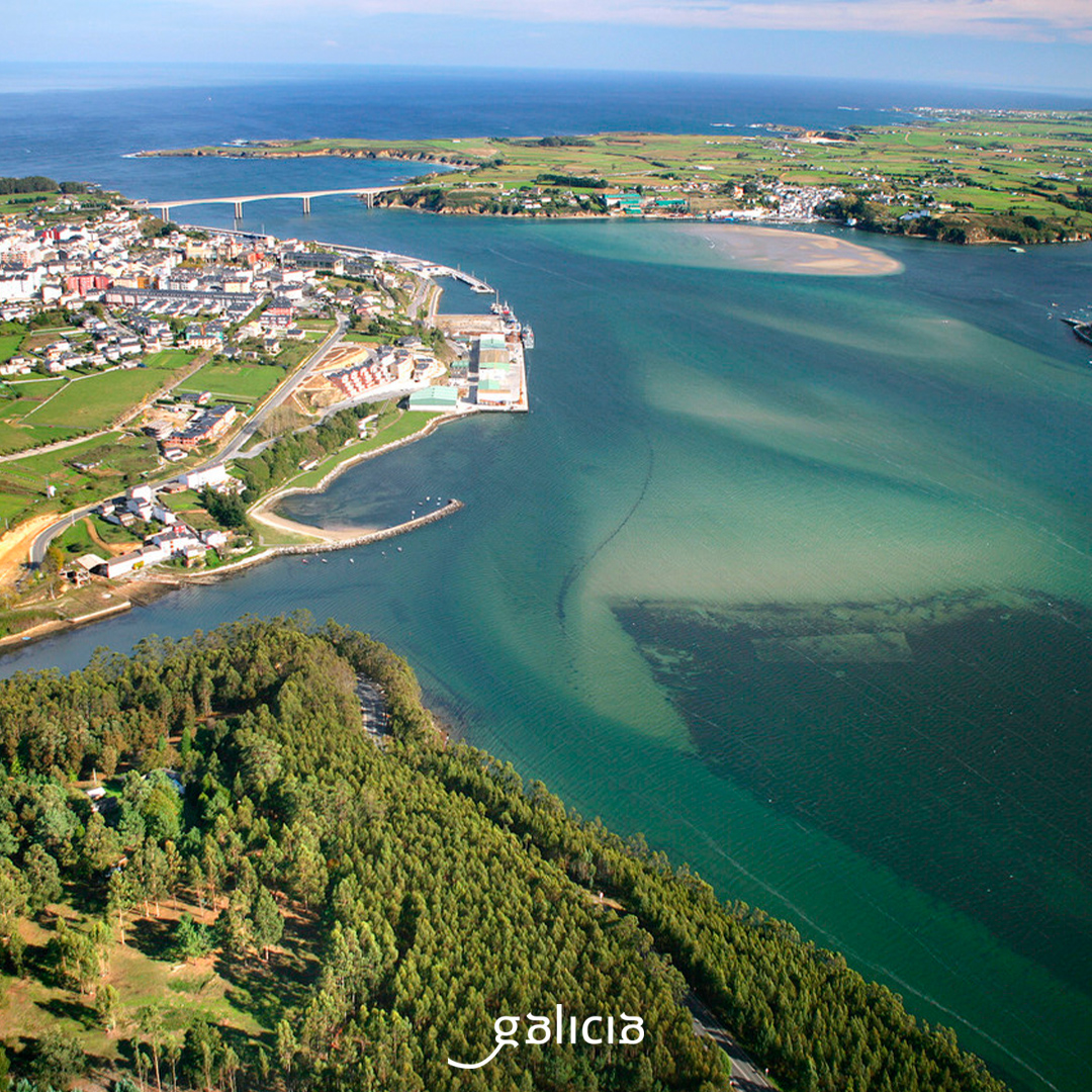
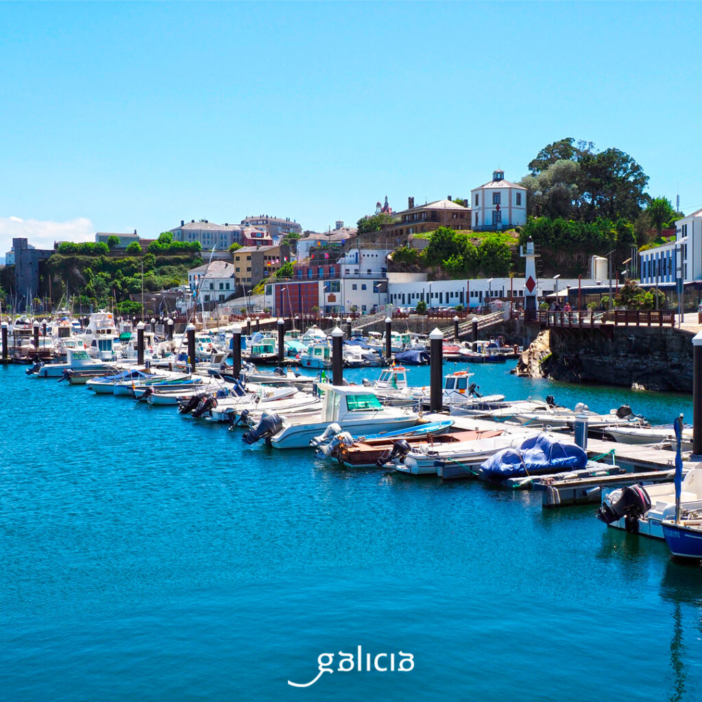
The capital of the region, Ribadeo, overlooks the Cantabrian Sea, where our protagonist flows into the Ría de Ribadeo, a long estuary, 10 km long and narrow, 800m wide, into which, in addition to the Eo, other smaller rivers flow (Suarón, Monxardín, Grande Regato, Esquilo).
This is an estuary with all kinds of ecological protection (ZEC, ZEPA, protected wetlands, Ramsar wetlands, biosphere reserve). The estuary is molded between extensive marshes, which change with the tides, and offer us great natural wealth, among reeds, reed beds, reeds… This destination is especially recommended for ornithology lovers.
On the Galician side, the estuary runs through the municipalities of Trabada and Ribadeo and, on the Asturian side, through the municipalities of A Veiga and Castropol. At the mouth of the estuary, the two communities are joined by the Os Santos Bridge, which goes from San Miguel, in Ribadeo, to San Román, in As Figueiras, Castropol.
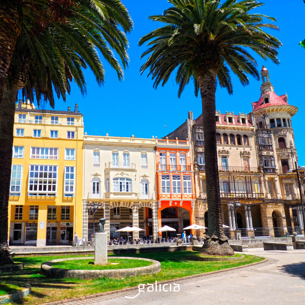
In Ribadeo we find a city with a varied historic center, between seafaring houses and large Indian mansions, one of the most emblematic areas being the Indian quarter of San Roque. From the chapel of A Atalaia we have great views of the estuary and the marina. This one, the port of Porcillán, offers numerous alternatives to practice aquatic activities in the estuary. If we are more of a land lover, we can also admire it closely thanks to the blue path, which allows us to border it for almost 6 km, between Muíños das Aceas to the Illa Pancha lighthouse. On this island, where the lighthouse is currently used as a hotel, we say goodbye to the Eo, facing the Cantabrian Sea.